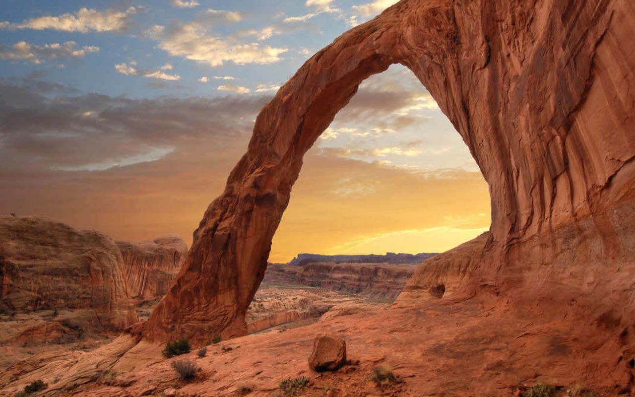
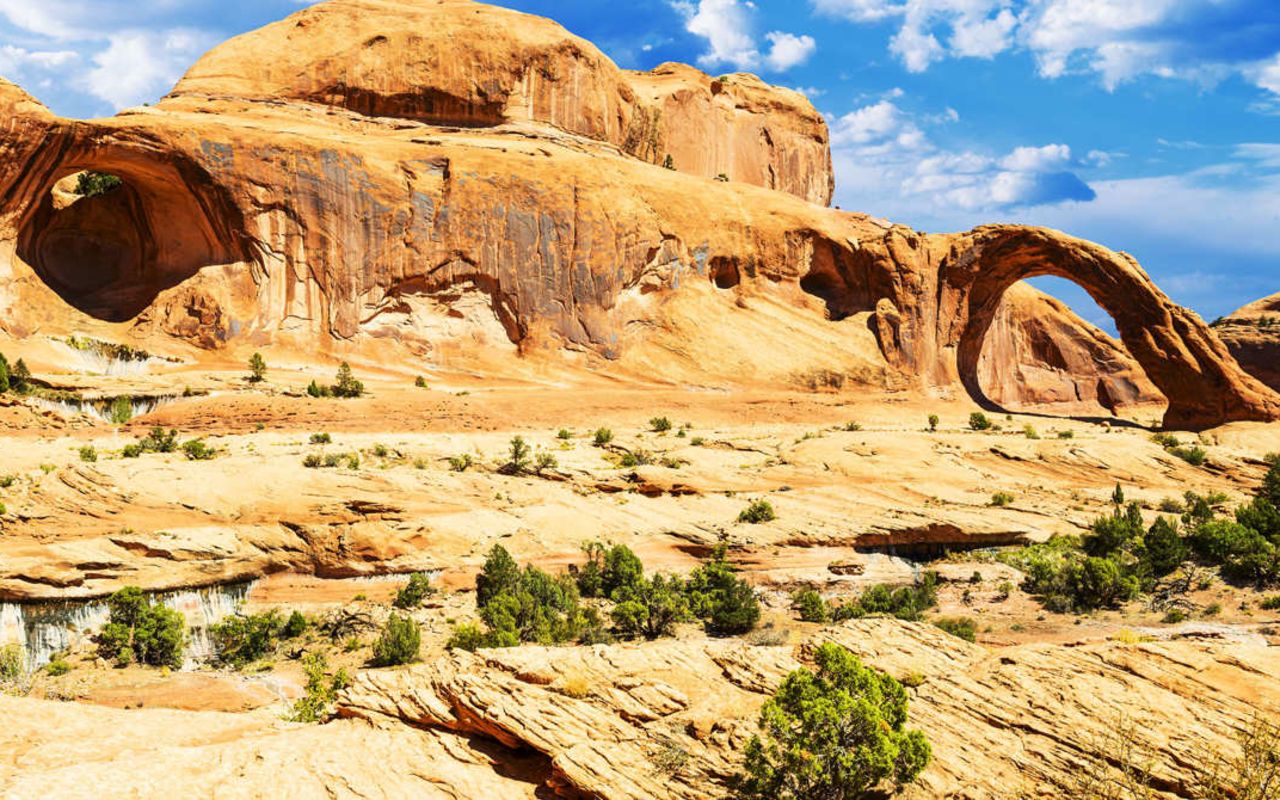
Corona & Bowtie Arches
Corona Arch & nearby, Bowtie Arch are spectacular, photogenic arches located just west of Moab.
Corona & Bowtie Arches | Photo Gallery


Corona Arch
Corona Arch near Moab, Utah
Trail Head: 38.5748, -109.632
Trail Type: Hiking
Length: 3 miles round trip
Difficulty: Moderate
The route to these arches makes one of the best short hikes in the Moab area. Both of these hikes are particularly good for children, or other inexperienced hikers, offering plenty of adventure to keep them interested.
The hikes cross open slickrock and then a ladder bolted to the rock allows visitors to climb a short cliff. In another spot, steps cut into the rock and a cable aid hikers as then ascend a steep slickrock ridge.
TRAILHEAD
The trailhead is along the Potash Road, which follows the north side of the Colorado River west from Hyw 191. The turnoff is about 4 miles north of Moab. The trailhead is signed and is about 10 miles down the Potash Road.
The entire trail is clearly marked. From the trailhead, you climb east and cross the railroad tracks, then continue along an old road that climbs to a gap putting you on top the bench. From there you hike on slickrock, following cairns (small piles of rocks).
BOWTIE ARCH
After climbing the ladder and Moki steps, the trail puts you on top a large bench. You walk along the bench, skirting dropoffs, as the trail takes you under Bowtie Arch. Bowtie is a pothole-type arch located high on the cliff above the trail.
CORONA ARCH
From Bowtie, the trail continues on to the base of Corona Arch, which resembles the famous Rainbow Bridge, with smooth lines curving down from a massive stone mountain. You can easily hike right under it. The feeling is incredible, as you tilt your head back and gaze up at ribbon of rock towering above you, only clear blue sky in the background.
You return the way you came up.
Contact the Moab Tourism Office for more information about Arches and the surrounding area.