Albion Basin Hiking
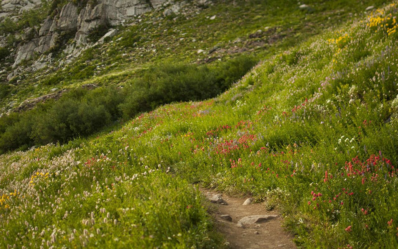
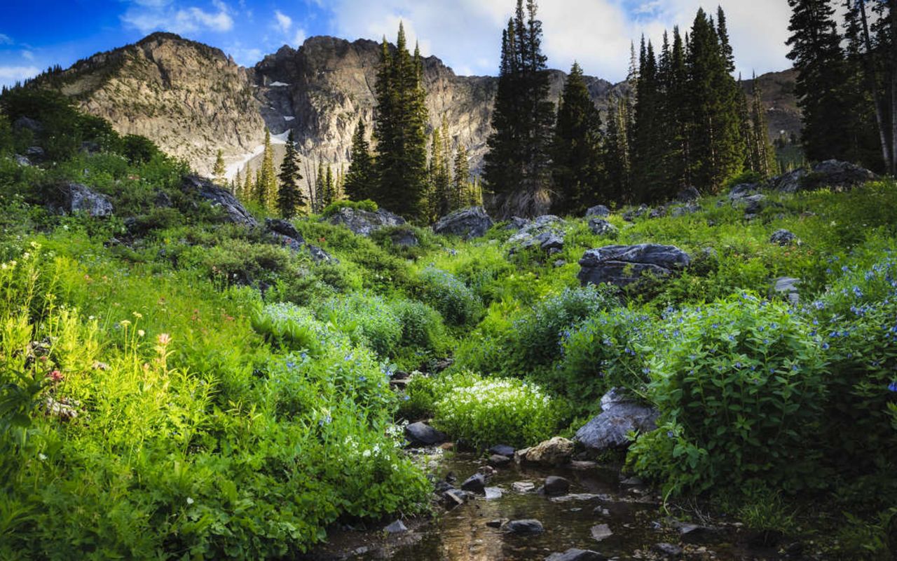
This popular and scenic hiking trail is located up Little Cottonwood Canyon and gives you a front row seat to experience vibrant wild flowers during the peak of summer (usually late June through mid to late July). It is an easy hike but great for all skill levels. Watch for wildlife in the area. No dogs allowed.
Trail Type: Hiking
Length: 3.6 miles roundtrip
Location: Alta Ski Resort (park by the Goldminer's Daughter Lodge)
Difficulty: Easy
Elevation Change: 800 ft
Albion Basin would be one of the easiest off-road bike routes in the Wasatch Range if not for a trailhead elevation of nearly 9,000 feet. Consequently, first-time mountain bikers and newcomers to the Wasatch Front will likely feel the constricting effect on their lungs and shortness of breath that come with high elevation. Don't let this deter you; ride slowly and rest often.
Trail Head: 40.591905, -111.627293
Trail Type: Biking
Length: 6 miles out and back
Difficulty: Easy
Elevation Change: 820 ft
Albion Basin is located in the heart of the central Wasatch Range, so pedaling through this magnificent alpine sanctuary far outweighs any discomfort experienced along the way. The route follows the 2-mile, all-weather Albion Basin Summer Road from the base of Alta Ski Area, located at the top of Little Cottonwood Canyon, to the national forest's Albion Basin Campground. The road rises gently but steadily and is good for novice bikers who are acclimated to the mountains' thin air. After a quick loop through the campground, simply retrace your tracks back down the road to the trailhead. You will have to share the dirt and gravel road with vehicles, but there is plenty of room for all.
Alta Ski Area is renowned for its superb alpine skiing. Much of the surrounding terrain, as formidable as it appears, is skiable. The most pronounced feature is Devils Castle--the craggy, inclined ridge of gray limestone sealing off the basin. West of Devils Castle is Sugarloaf; Mount Baldy stands behind Germania Pass. Across Little Cottonwood Canyon rises Mount Superior, recognized by its cockscomb peak and colorful cliffs. Due north are the more gentle landforms of Flagstaff Mountain and Davenport Hill. Finally, Mounts Wolverine and Tuscarora to the east meld together to form the divide between Little Cottonwood and Big Cottonwood Canyons.
Closer to your front wheel, you'll see an array of wildflowers as varied as a Peterson Field Guide. As you identify the dozens of types, notice how species have a preference for a specific elevation and slope orientation.
Those who are in need of a bit of cross training can stash their bike at the campground and hike the mile long Interpretive Trail to Cecret Lake. Cecret Lake is a small glacial pond, or tarn, cupped beneath Devils Castle. Alternatively, hike to Catherine's Pass and soak up the stunning of upper Big Cottonwood Canyon.
Albion Basin Hiking | Photo Gallery


Albion Basin Hiking